Help Track Streams In Crested Butte/East River Basin
About Us
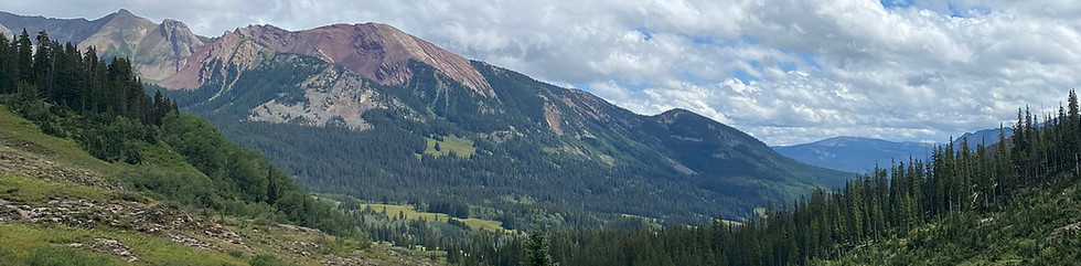
As you explore the roads and trails in the Crested Butte area, take Stream Tracker with you and contribute to better understanding when and where smaller streams are flowing or have dried.
We are seeking volunteers to mark streamflow condition as a rapid assessment of flow, standing water, or no flow at over 100 sites along roads and trails in the East River Basin near Crested Butte.
Anyone can participate - visit established hotspots or establish new sites - make observations at any time
Get Started
Download the Anecdata.org mobile app
Create an account, search for, and join 'Stream Tracker Crested Butte'
Make sure you are logged into the app and go out exploring
When you cross a stream channel where it intersects a road or trail:
Select 'Select New Observation' in the app
Tap the map screen to see your location in relation to an established hotspot
You can select a hotspot by tapping on the grey circle marker
or if it is a new site, give the site a name
Record flow condition as Flow - Standing Water - No Flow - Channel covered/other
Take a photo
Save observation
**if you are out of cell service -> open the app when you return to service and select observations awaiting upload**